
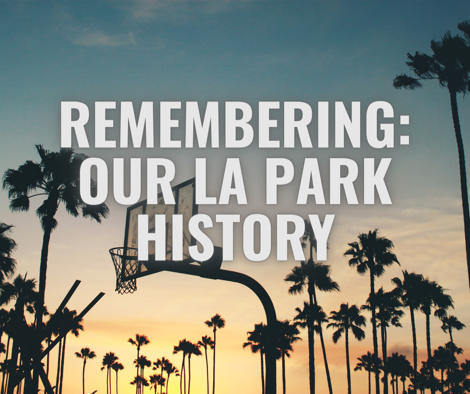
A Look Back at Our LA Park History
Series written by Kate Martin Rowe
Last year, we published a series of blog posts about LA’s fraught history with its public lands and spaces in an effort to explore more and learn from our complicated past. The history of land use, park management and public space in Los Angeles is full of stories of displacement, mismanagement, exploitation, pollution and land theft, but you’ll also find stories of hope and activism where communities came together to demand change and advocate for themselves.
We see this as part of our continued efforts in working toward repair, healing, restitution and justice when it comes to land use and public space in LA. Here at LANLT, our vision for Los Angeles is one where everyone has access to public parks and green space. We dream of an LA where instead of toxic waste dumps, empty lots or industrial facilities, we use available space for parks and gardens, an LA where everyone has access to outdoor spaces and the clean air, trees and recreation opportunities they provide.
We hope you that you will join us on this journey of learning more about the history of land equity issues in LA, and that you continue collaborating with us for park equity and justice!
Here’s a recap of the series. We encourage you to read it if you haven’t yet!
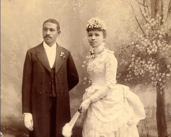
Wedding portrait of Charles Aaron and Willa A. Bruce. Photo credit by California African American Museum.
Bruce’s Beach
For over a decade in the early twentieth century, Charles and Willa Bruce ran a lively beach club and resort for Black Angelenos. That is, until 1927 when the city of Manhattan Beach seized their property. This is also the story of how the land was finally returned to the Bruce family in an act of reparations in 2021. Read the full story.
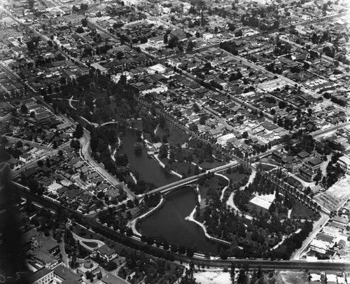
Hollenbeck Park in 1924 from the Security Pacific National Bank collection in the LA Public Library.
Freeways & Displacement
Racist transportation planning in Los Angeles has often expanded the city’s freeway system at the expense of thriving neighborhoods and parks in diverse communities of color, such as Boyle Heights’ Hollenbeck Park or the iconic Black neighborhood of Sugar Hill. Freeway expansion in LA has, by design, demolished communities’ access to each other and to park space. Read the full story
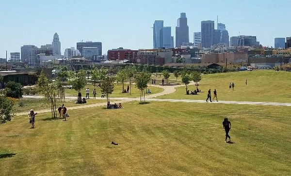
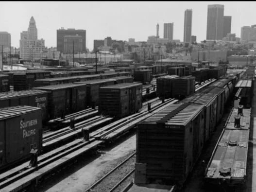
(From left to right) LA State Historic Park today photo courtesy of DTLAExplorer.com, The Southern Pacific Railroad freight depot and switching yard in 1978 photo courtesy of the LA State Historic Park, and The Cornfields in the early 80s photo courtesy of the UCLA IMlab Media Archives.
The History of LA State Historic Park
This post details the history of LA Historic State Park’s various inhabitants and past land use, including its years as a railway depot, and how a coalition of residents and community groups came together in the early aughts to fight for a park that took 17 years to build. Read the full story
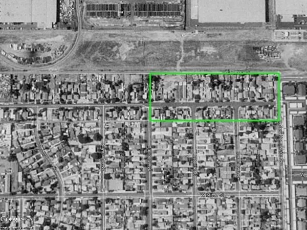
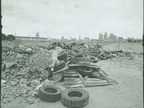
In 1994, the neighborhood just South of the toxic sites before 60 homes were removed.
The History of LA State Historic Park
This is the story of how a massive superfund site that Montrose Chemical Company had used for decades as a dumping ground for toxic waste in Carson was transformed into a beautiful park with help from LANLT and different community groups who came together to demand an effective clean-up of the land and park access. Read the full story
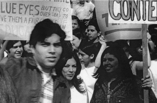
East LA Walk Outs in 1968.
Historic Activism at LA Parks
Read about the role some of LA’s most famous parks and public spaces, including MacArthur Park, Hazard Park in East LA, Ruben Salazar Park, Grand Park, Pershing Square and others, have played in landmark uprisings, marches, and calls to action of all kinds throughout LA’s history. Read the full story
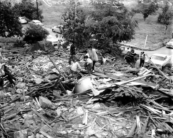
Bulldozers destroy the remaining homes in Chavez Ravine 1959. USC Libraries, Special Collections.
Chavez Ravine
The tragic history of Chavez Ravine includes city mayors, business interests, the wealthy owner of a baseball team and the many tenacious landowners and tenants of the largely Mexican-American community who were pushed off their land to build a stadium. Read the full story

City of Los Angeles Historical Cultural Monument number 112 marks Ferndell Canyon in Griffith Park as a site once inhabited by Gabrieleño-Tongva people. Los Feliz Ledger, Photo: Carl Robinette
Griffith Park & Tongva Land
Our final post in this series touches on the past and present of indigenous peoples whose land is now so-called Los Angeles. Read about the Tongva and other indigenous groups, their histories with Spanish colonizers, and some of the ways they practice their culture today. You’ll also learn about the history of the land that became the city’s largest public space, Griffith Park. Read the full story
In their own voices, please read “We are Still Here.” A Report on Past, Present, and Ongoing Harms Against Local Tribes, conducted by LA City/County Native American Indian Commission with recommendations from representatives of Fernandeño Tataviam Band of Mission Indians, Gabrieleno/Tongva San Gabriel Band of Mission Indians, Gabrielino Tongva Indians of California Tribal Council, San Fernando Band of Mission Indians, and San Manuel Band of Mission Indians; as well as From Tribal Consultation to Tribal Sovereignty: a Tongva Policy Memo by the Tongva Taraxat Paxaavxa Conservancy.